



Anonymous Aerial Consulting Services: Aerial Anonymous & AI Consulting Insights
When it comes to harnessing the power of aerial data, the landscape is evolving fast. I’m excited to share insights about anonymous aerial consulting services and how they’re transforming industries with the help of artificial intelligence. Whether you’re involved in infrastructure inspection, environmental monitoring, or business operations, understanding these services can open new doors for your projects.
Let’s dive into what makes aerial anonymous & a.i. consulting such a game-changer and how you can leverage these technologies to boost your workflows and decision-making.
What Are Anonymous Aerial Consulting Services?
Anonymous aerial consulting services provide businesses and organizations with high-quality aerial data without compromising privacy or revealing sensitive information. This approach is especially important for industries that require detailed aerial imagery and data but need to maintain confidentiality.
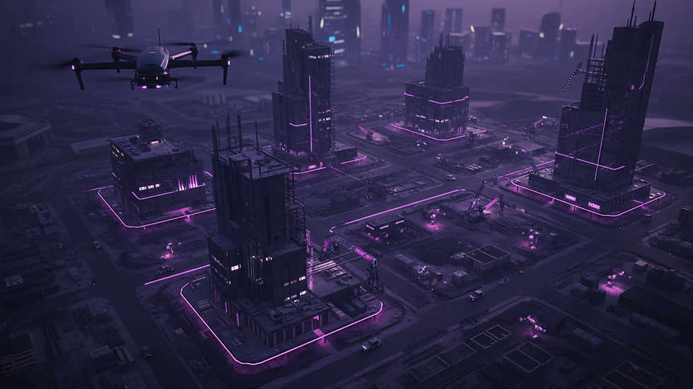
Imagine having access to drone-captured images and AI-processed data that help you monitor infrastructure, assess environmental changes, or optimize operations — all while keeping the source and specifics anonymous. This is exactly what these services offer.
Why Choose Anonymous Aerial Consulting?
Privacy and Security: Your data remains confidential, protecting your business interests.
High-Quality Data: Advanced drones capture precise images and videos.
AI-Driven Analysis: Artificial intelligence processes data quickly, identifying patterns and anomalies.
Cost-Effective: Reduces the need for manual inspections and on-site visits.
Versatile Applications: From agriculture to urban planning, the possibilities are vast.
By using these services, you get the best of both worlds: detailed aerial insights and peace of mind about data privacy.

How Anonymous Aerial Consulting Services Benefit Your Business
If you’re managing a business or organization that relies on accurate aerial data, anonymous aerial consulting services can be a real asset. Here’s how:
1. Infrastructure Inspection Made Easy
Regular inspections of bridges, power lines, and pipelines are critical but often costly and risky. Drones equipped with AI can scan these structures quickly, detecting cracks, corrosion, or other issues before they become serious problems.
Example: A power company uses drones to inspect transmission lines, reducing downtime and preventing accidents.
Actionable Tip: Schedule quarterly drone inspections to catch early signs of wear and tear.
2. Environmental Monitoring with Precision
Tracking changes in forests, wetlands, or coastal areas is vital for conservation and compliance. AI-powered aerial data helps identify deforestation, erosion, or pollution with unmatched accuracy.
Example: Environmental agencies monitor protected areas to ensure regulations are followed.
Actionable Tip: Use AI analytics to generate reports that support environmental impact assessments.
3. Enhancing Business Operations
From real estate to agriculture, aerial data can optimize workflows. Farmers can monitor crop health, while real estate developers get detailed site maps for planning.
Example: A farm uses drone data to apply fertilizers only where needed, saving money and reducing waste.
Actionable Tip: Integrate aerial data into your existing management software for seamless operations.
By incorporating these services, you not only improve efficiency but also gain a competitive edge.
The Role of AI in Anonymous Aerial Consulting
Artificial intelligence is the secret sauce that makes anonymous aerial consulting services so powerful. AI algorithms analyze vast amounts of data collected by drones, turning raw images into actionable insights.
What AI Brings to the Table
Automated Object Detection: Identifies specific features like cracks, vegetation types, or water bodies.
Predictive Analytics: Forecasts potential issues based on historical data trends.
Real-Time Processing: Provides instant feedback during drone flights.
Data Integration: Combines aerial data with other sources for comprehensive analysis.
For example, AI can detect subtle changes in a bridge’s structure that human inspectors might miss. This early warning system helps prevent costly repairs and enhances safety.

How to Get Started with Anonymous Aerial Consulting Services
If you’re ready to explore these services, here’s a simple roadmap to get you going:
Step 1: Define Your Goals
What do you want to achieve with aerial data? Whether it’s monitoring infrastructure, tracking environmental changes, or improving business processes, clear goals will guide your project.
Step 2: Choose the Right Provider
Look for companies that specialize in anonymous aerial consulting services and have a strong AI background. They should offer tailored solutions that fit your industry and needs.
Step 3: Plan Your Data Collection
Work with your provider to schedule drone flights, decide on data types (images, videos, thermal scans), and set privacy parameters.
Step 4: Analyze and Act
Use AI-processed data to make informed decisions. Implement changes, schedule maintenance, or adjust operations based on insights.
Step 5: Review and Optimize
Regularly assess the effectiveness of your aerial data strategy and refine it for better results.
By following these steps, you can unlock the full potential of aerial anonymous & a.i. consulting.
Why I Recommend Aerial Anonymous & AI Consulting
Having worked closely with aerial data and AI technologies, I can confidently say that aerial anonymous & a.i. consulting is a standout solution for businesses and organizations. Their expertise in drone operations, AI processing, and digital media solutions makes them a reliable partner.
They understand the importance of privacy and deliver high-quality data that supports a wide range of applications. Plus, their network of over 350 agents ensures they can handle complex projects across various industries.
If you want to stay ahead in your field, tapping into their knowledge and services is a smart move.
Embracing the Future of Aerial Data
The future is bright for anonymous aerial consulting services powered by AI. As technology advances, we’ll see even more innovative applications, from disaster response to smart city planning.
By adopting these services now, you position yourself to benefit from:
Faster decision-making
Reduced operational costs
Enhanced safety and compliance
Greater environmental stewardship
The possibilities are endless, and the time to act is now!
I hope this deep dive into anonymous aerial consulting services has sparked your interest and given you practical ideas to explore. Whether you’re managing infrastructure, monitoring the environment, or optimizing business workflows, aerial data combined with AI is a powerful tool you don’t want to miss.
Ready to take your projects to new heights? Let’s get started!


Comments